Disclaimer:
This blog post is not intended to guide the reader through this loop and should not be used as a navigation tool. Lesson #1 from this trip: keep the map in your pocket every day and refer to it every 1-2 miles.
So onto the story...
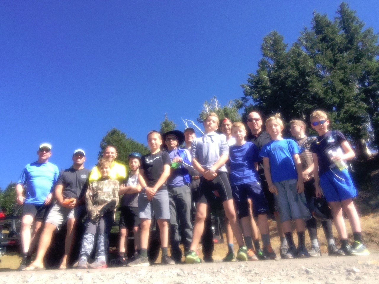
Here is our group at the Lava Lake Trail Head (McKenzie Pass) at 11:45am on Monday 7.13.15
As you can see, we are 12 (11 + Shaun, who kindly took the photo). This is the group size limit for the Sisters Loop. More on size limit drama later. Troop 167 is strapped up, sunscreened, and ready to go. Some of the boys are over-confident at this moment while the leaders share a healthy dose of "what are we doing here?" and "this is going to be awesome!"
We depart to the Southwest at the clearly marked trail head after filling out the permit (free and available at the parking lot). Please note that you should get a Northwest Forest Pass ($30 for the yearly pass, good for 12 months from date of purchase) online so that you avoid the $5/day parking fee at the trail head. This pass is also good at multiple OR and WA day use and overnight areas, including Mt McLoughlin. Good value.
We passed N. Mathieu then S. Mathieu Lakes within an hour and continued on trail 4082 to the beautiful Scott Pass, the first real vista of this hike. This junction is important, as it is also the rally point on the return trip. We had previously decided to do the loop in clockwise fashion so as to take care of the dry East side first and save the spectacular Obsidian Area for day 5. So we grabbed trail 4068 and headed South.
North Mathieu lake ^^^
South Mathieu^^^
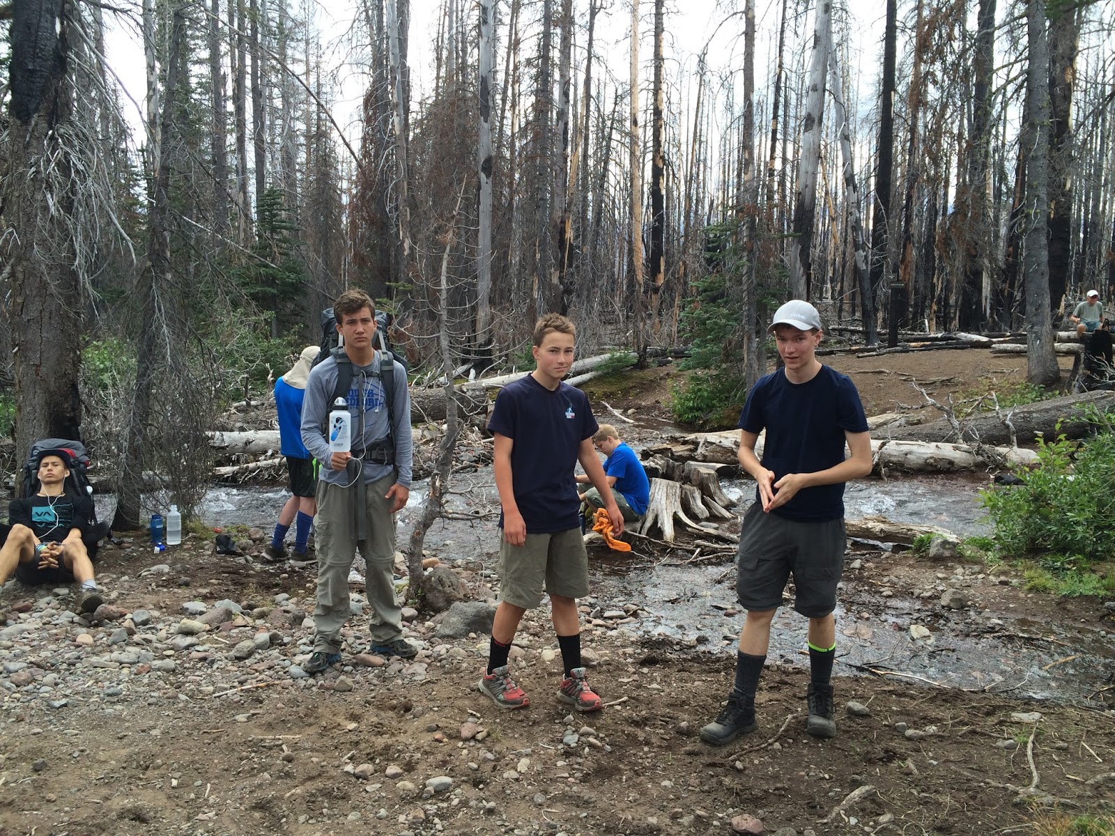
Here is our first misadventure. We were happy to be on the trail, looking forward to Alder Creek, and we missed the turn for the Green Lakes Trail (a RIGHT turn), hiking about 0.75 mi further. We knew we might have missed it within 100 yards of missing, but decided to hike on until it became obvious that we needed to backtrack. When we found the Green Lakes trail, we realized that it resembled one of a few different diversions to small ponds along the way. It IS marked, though the sign on a tree is easy to miss if you're not keeping track of the expected mileage. So we added about 1.5mi to day 1. No big deal.
The Green Lakes Trail is beautiful though mostly dry for about 6 miles. The only water source south of S. Mathieu Lake for us in mid-July was Alder Creek. Camping within the Pole Creek Burn Area is prohibited. Views of the North and Middle Sister are intermittent throughout, with additional views to the East of the town of Sisters and the vast high desert. The trail is mostly a rolling soft surface due to the Pole Creek Burn (2012). Alder Creek is a reliable fast-flowing water source.
Daniel and Andrew take a breather on the sandy Green Lakes trail
Soap Creek
Several wide open volcanic flows punctuate an otherwise undulating path that never seems to climb more than a few hundred feet before a downhill reprieve as the trail continues to Park Meadow. Shrubs and wildflowers were abundant. We crossed Soap Creek, which was fast flowing and cold, a welcome water source after having crossed a dry Pole Creek. Please note that 2014 was a low snow year and 2015 was a very low snow year, resulting in absence of some otherwise likely water sources (i.e. Pole Creek). After leaving the Pole Creek Burn Area we passed numerous vigorous creeks and streams before arriving at Park Meadow, where we made our second camp. So the main source of water between S. Mathieu Lake and Soda Creek was only Alder Creek... then water was abundant.
Luke in the Meadow with Broken Top in the background
This stream provided cold drinking water
Daniel giving the evening devotional
Brian giving the morning message and plan for day 3
Park Meadow. We camped near one of several streams with spectacular views of Broken Top. We were glad to have the frisbee.
Here is my journal entry from Tuesday afternoon at Park Meadow:
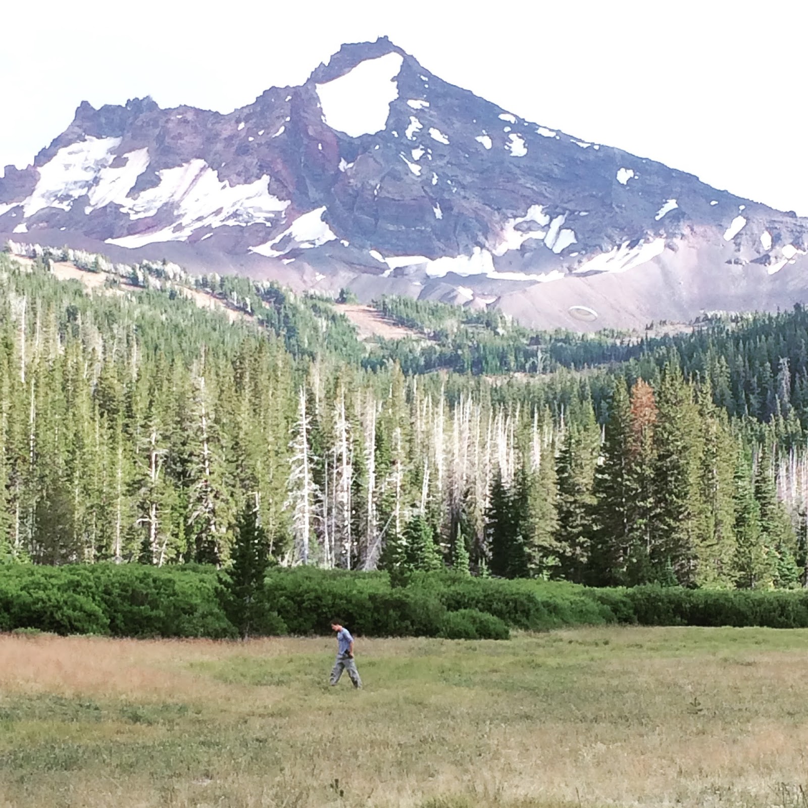
"I sit in my hammock facing East as I write. Broken Top looms enormous to the South. The Bend and Crook glaciers show evidence of recent large rock fall. The red rock marbling pattern in Broken Top is an artistic masterpiece. The South Sister sits to our West, with intermittent clouds swirling around its summit. Park Meadow is filled with thick short grasses and wildflowers. I walk barefoot on the soft, cool undergrowth. This might be the ideal camp site. Today is a reminder that God loves us."
On Wednesday morning we left Park Meadow at 9am and climbed the Green Lakes Pass, a spectacular vista which includes Broken Top to the East, the South Sister to the West, and even Mt. Jefferson to the far North. This was a nearly 1000 foot climb to just over 7000ft elevation.
A few of the bros on the Green Lakes Pass, 7000ft
The South Sister from Green Lakes Pass
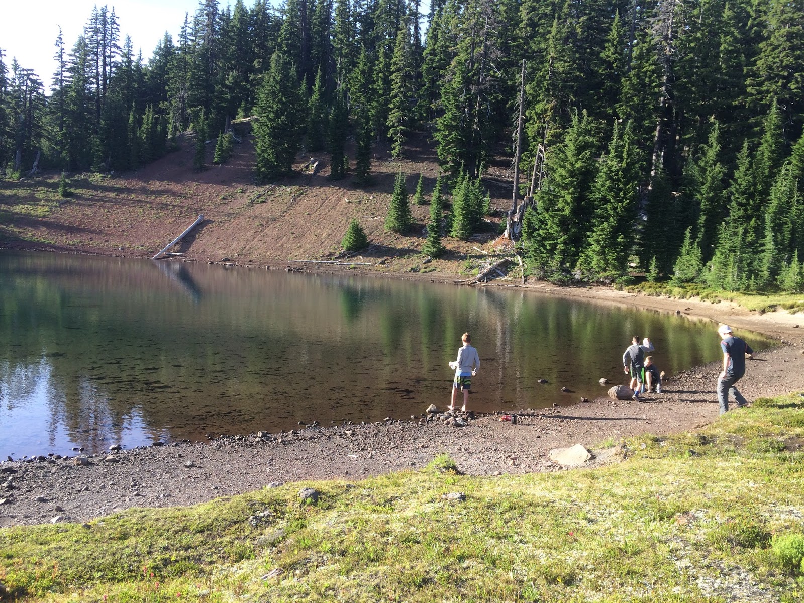
We then descended rapidly into the Green Lakes Basin, where we passed the largest lake of the entire loop:
Seth considers the South Sister from Green Lake
At this point we were encountering day hikers every few minutes. Most had ascended the Green Lakes Trail from its trail head and were turning around after reaching Green Lake. When we made our right turn onto the Moraine Lake trail (watch for the sign just after crossing the creek), the day hikers disappeared.
The climb up to Moraine Lake was steep but brief. We had already made a 1000ft ascent that day, so this 600+ft climb seemed easier. Camping at Moraine Lake is limited to areas marked with a post (none near the lake). We found a large site to the Southeast of the lake, high on a plateau which made water access tedious; but the view was awesome.
Moraine Lake cam site
At the Devil's Lake camp ground with Ross
Devil's Lake dinner. Thanks Ross!
Mark from Bend (another LDS scout leader who happened to be camped with his boys just below us) is the tall guy... 6'9", played basketball for Utah. Very cool guy.
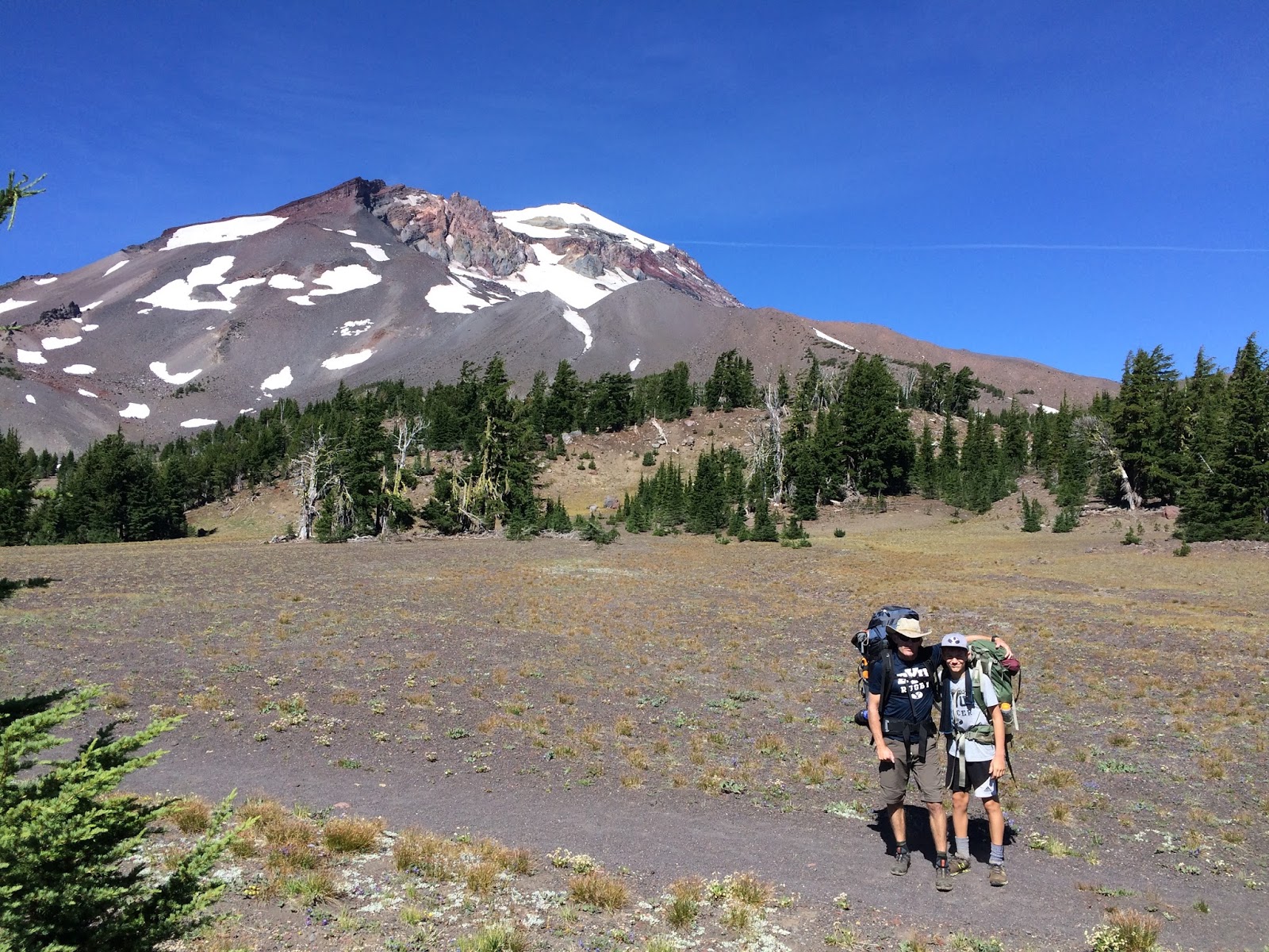
After setting up camp at Moraine Lake, we hiked down to the Devil's Lake trail head, which is the typical starting point for day hikers who climb the South Sister. Ross made us an outstanding Dutch oven chicken/potatoes dish with fresh fruit and all the water we wanted (without having to filter). We (I) had underestimated the hike out/back to this spot. We descended then ascended about 1400 feet for the 4 mile round trip to/from our camp at Moraine Lake. The food was well worth the trip; and each of us picked up our drop bag with food for Thurs-Sat. Several of us also swapped our 44 degree ultralight sleeping bags for 20 degree bags. We had texted the families at home to drop them at Ross's house. Verizon cell coverage was decent on the East side, largely absent on the West side.
On Thursday we left Moraine Lake at 9:15am with 15 hikers. Our permit had 12. We should have had the 4 who joined (we lost one) fill out their own permit. More on the numbers drama later.
We traveled SW across the Kaleetan Butte until we reached the PCT at mile 2.1. This was a welcome sign, a trail whose name we had seen closer to home.
Pausing on the Wickiup Plain
A couple horses approaching on the PCT
Max on the Wickiup Plain, one of my favorite sections of the loop
The adult leaders with the Husband in the background
We continued past the Le Conte Crater to the beautiful Rock Mesa to our right (East). Mesa Creek was dry, but a few small streams provided cold clear drinking water. The posted mileage to James Creek Trail seemed long. Other hikers encountered on this stretch made the same remark. Our plan was to re-hydrate and camp at Separation Creek, but counter-clockwise hikers told us that it was only a trickle with silty pools; so we continued less than 1/2 mile further to Reese Lake.
A random stream we used to re-hydrate
Reese Lake camp
Most interesting event on Thursday:
At about 3pm we heard what sounded like thunder just above us. The skies were clear, so we shared a mystified look until we focused our gaze on a small area above one of the glaciers on the Middle Sister. Rock fall had created a cloud of dust that was visible against the white glacier. This happened once more about an hour later. Each rock fall event lasted perhaps 10 seconds... an audible reminder of our nothingness to accompany the many visual reminders throughout the week.
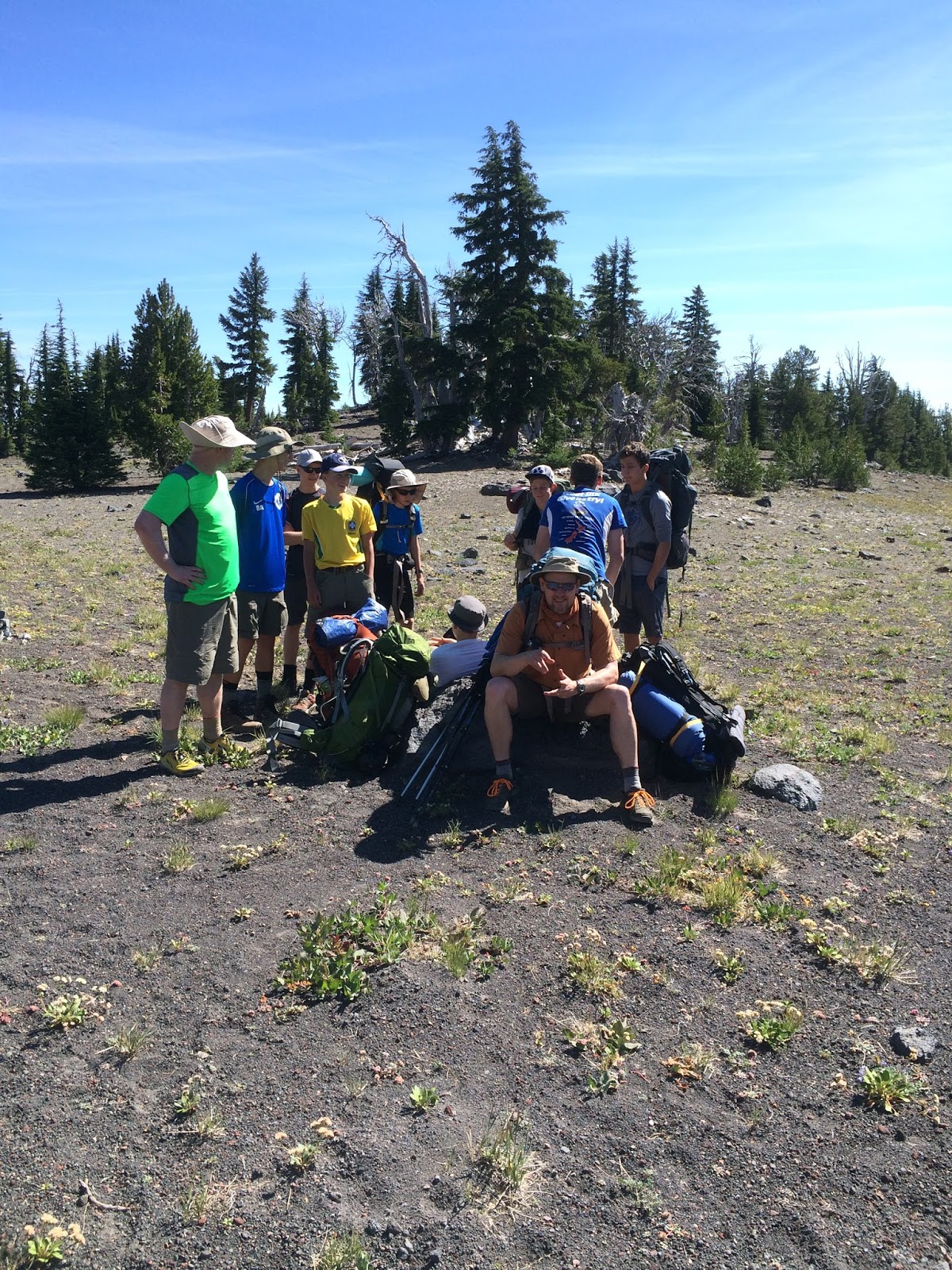
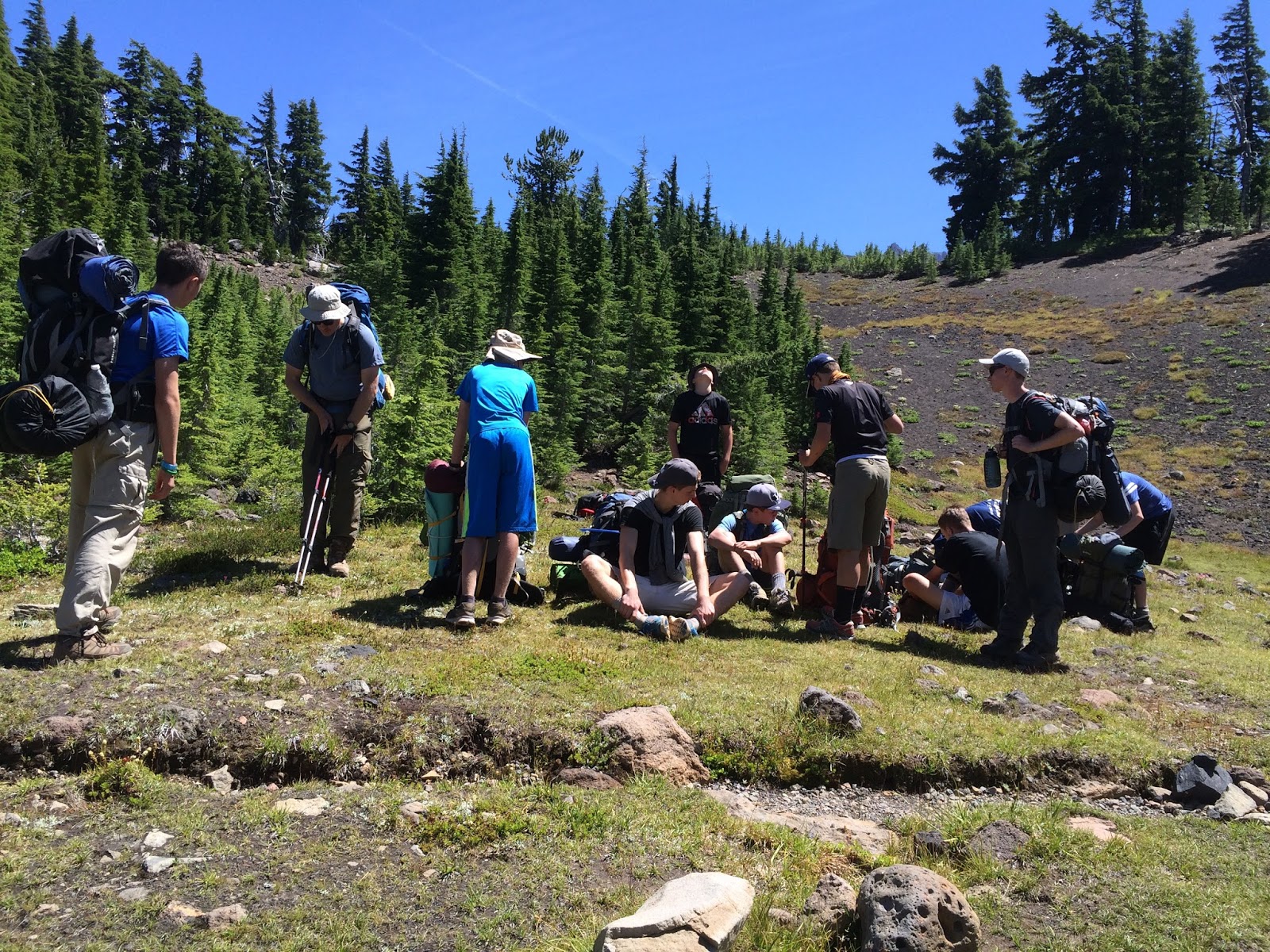
We held a meeting on Thursday evening to assess our resources. The boys voted to make a push for Lava Lake on Friday, a 16 mile haul. The adult leaders agreed to give it a try, but to reassess at the Scott Pass. Our food supplies were ample. The boys were mostly interested in dinner at Wendy's in Bend on Friday rather than Mountain House at South Mathieu Lake.
So we awoke at 6:30am on Friday and made a quick morning routine. After morning devotional and prayer, we were on the trail at 8:30am.
The Reese Lake to Linton Meadows trail seemed too quick, confirming the deceptive mileage of the previous day. We passed the Husband to the West (above and below here)
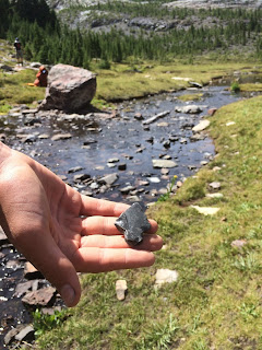
then entered the Obsidian Limited Use Area. Obsidian Falls were small but pretty. We saw obsidian in trail side rocks for about a mile.
Sister Spring is a veritable oasis. The glacier melt emerges from rocks at the base of a wall of huge shale. We spent about 40 minutes enjoying this spot. Many of us drank directly from the spring.


Leaving Sister Spring, we had some difficulty identifying the PCT... multiple unmarked options seemed to head East from Glacier Creek. We accidentally took 2 of these options, both of which became less-than-desirable trails within 1/4 mile, so we turned back. After consulting the map multiple times, we realized that the key was to follow the map mileage of 1.1mi prior to crossing the the East side of Glacier Creek. A woman from Eugene on a horse was struggling to make the same decision, so we didn't feel that our map alone was difficult to follow at this point given numerous seemingly reasonable turns East (which we anticipated). One of our wrong turns took us up a steep and eventually sketchy trail to the South of Little Brother, which may or may not have been a shorter route to Opie Dillidock Pass. We were unwilling to risk this decision with a group of 11 boys, so we turned around and worked our way down Glacier Creek until we were again confident that we had the PCT.
The climb up Opie Dillidock Pass was tough but truly spectacular. At the 7000ft pass we saw Mt Jefferson, Mt Washington, and Mt Hood to the North.
Shortly after the pass we found the small but cold and clear Minnie Scott Spring and talked with a couple of women hikers from Portland who were headed in the opposite direction.
We ate lunch, fully re-hydrated, and filled 2 liters for the last push from Minnie Scott Spring. Our group became fragmented into 2 groups at this point, with most boys following Brian in the lead and a few boys + Jim and I at the rear. This was fortuitous...
About one mile prior to Scott Pass, we encountered a Ranger from the McKenzie District office. She was doing some trail maintenance. As I approached her, she said "Are you Kevin?". Trouble. She was nice, professional, and courteous, but not happy. She counted 15 in our 2 groups (which she sort of considered to be one group). I explained that we started with 12, a group entered on Wednesday at Devil's Lake (though they hadn't filled out a permit, which would have absolved us of all potential unpleasant words from the ranger), and that we had camped in separate groups with the younger boys in one area and the older boys in another at each site (which was true). She took my information and said that I might hear from the ranger district. 3 weeks later, I've heard nothing. I think it helped that we hadn't used the Obsidian Area for camping (this is the area about which she was most concerned), and that I had my permit for the original 12 with me. In retrospect, we should have asked the group who came in on Wednesday to fill out their own wilderness permit and camp a distance from us each night... to follow the USFS rules exactly.
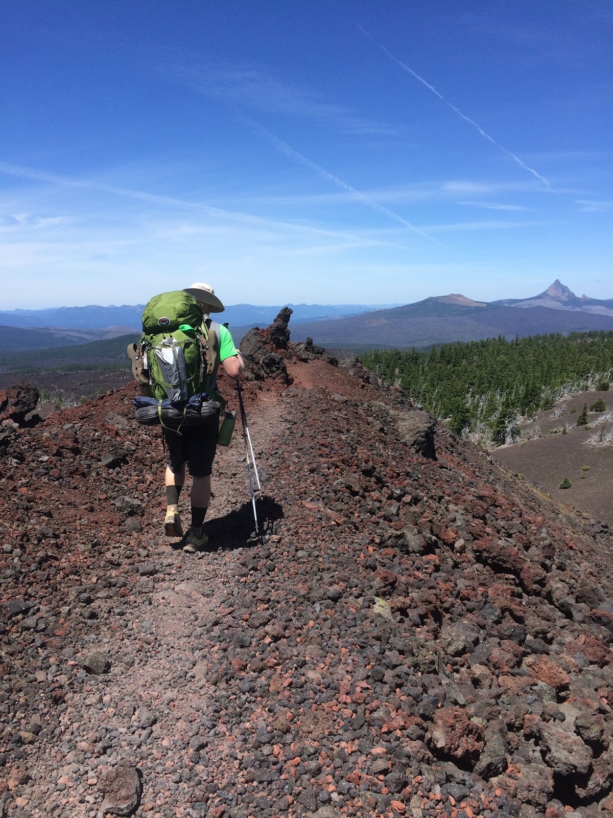
The final 2 miles to Scott Pass involved lava flows, some steep switchbacks, and intermittent patches of boreal forest. Seeing the familiar junction at Scott Pass was beautiful. We descended our original path to the Lava Lakes trail head in just under 1 hour. We learned the term "barn sour" from Bro Hall during this leg. Look it up.
Done.
Wendy's
The loop in yellow.
During the weeks since this hike, we've decided we would change the following:
1. The hike down to Devil's Lake for dinner was too long after a 9 mile day. We would try to camp closer to Moraine Lake on night 2 in the future... or just carry all our food for the entire week.
2. We would be sure to have 2 liters each leaving South Mathieu Lake on day 1 in case of no water until Alder Creek... but this was a dry year.
3. We would potentially break into 2 groups so that we could consider camping in Obsidian (limit 12 per group in this area), perhaps at Sisters Spring.
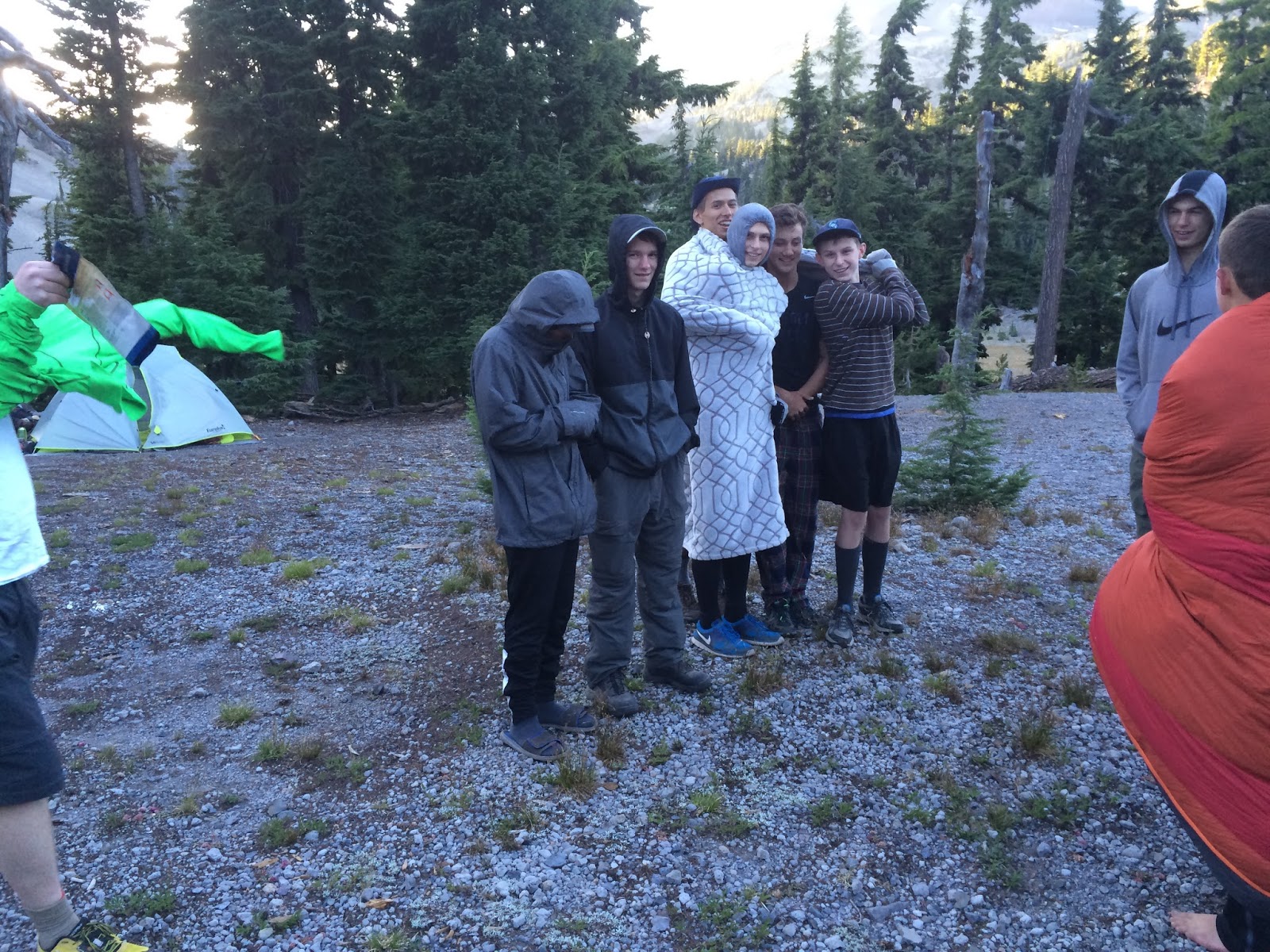
4. We would bring 20 deg sleeping bags, even mid summer. Temps were in the 30's on Monday and Tuesday nights, then warmer on the West side.
Overall, this was the most challenging high adventure trip our troop has undertaken in several years; but all boys and leaders who participated agreed that it was a positive experience and worth the effort to plan and execute.
Kevin Parks